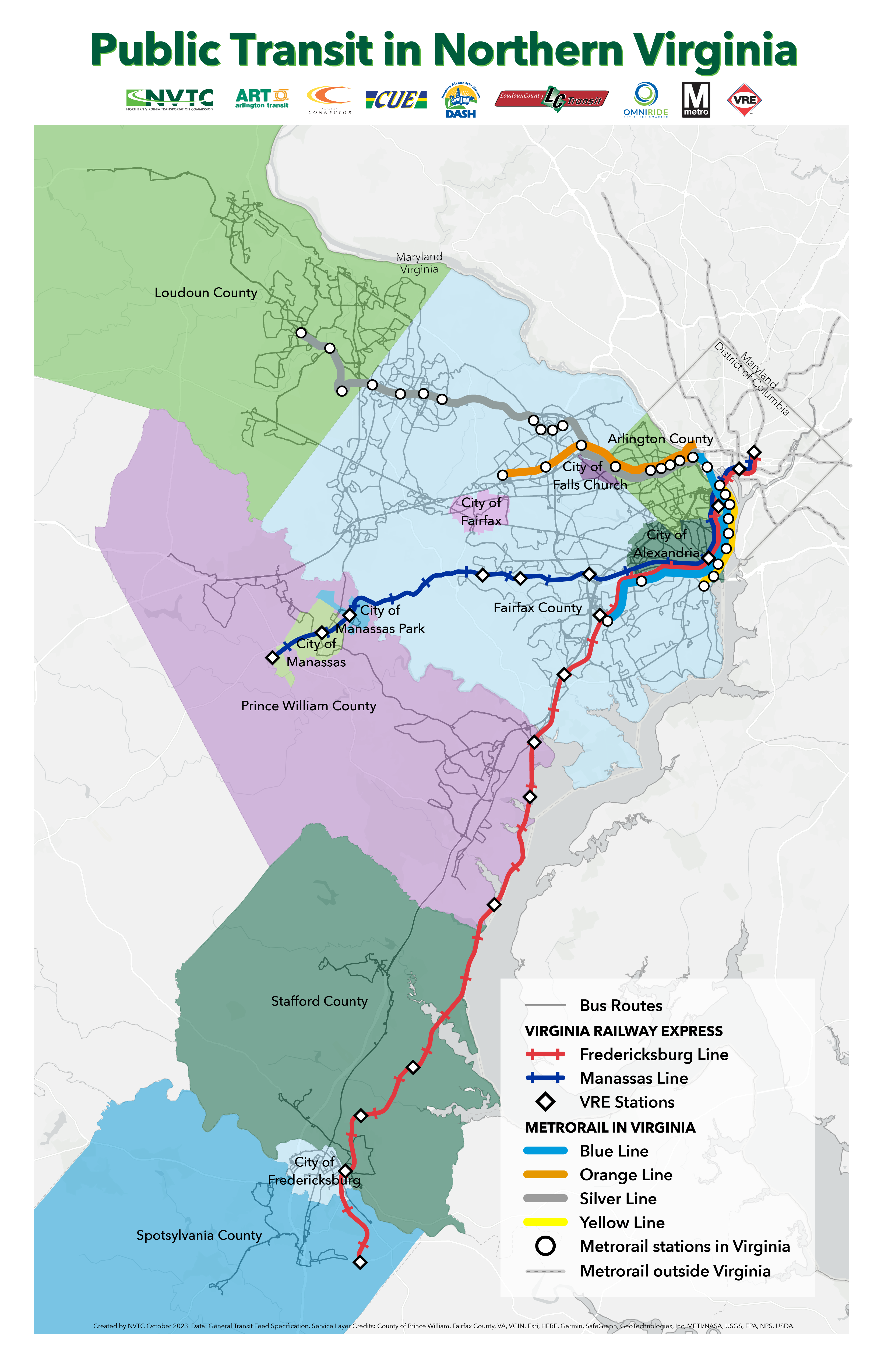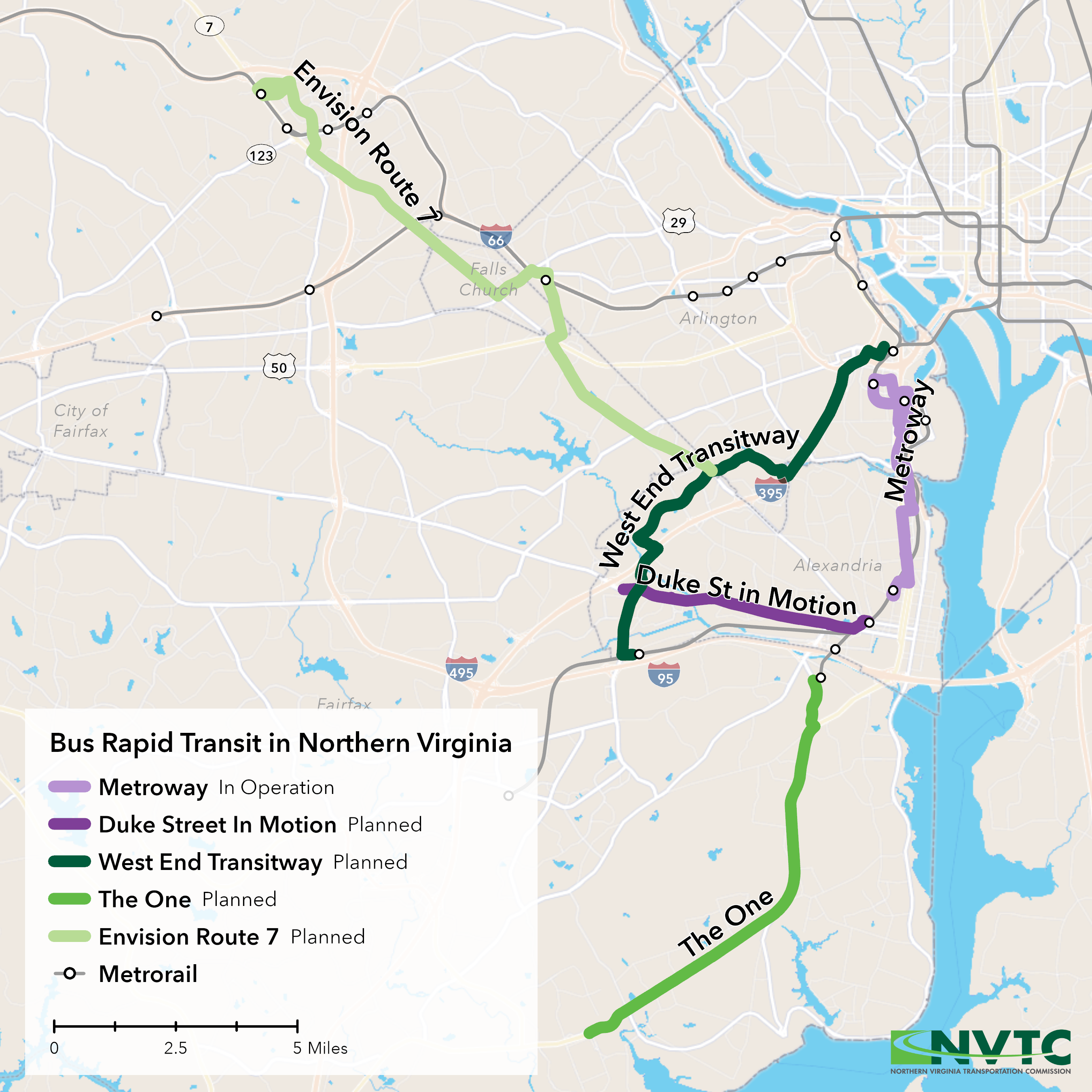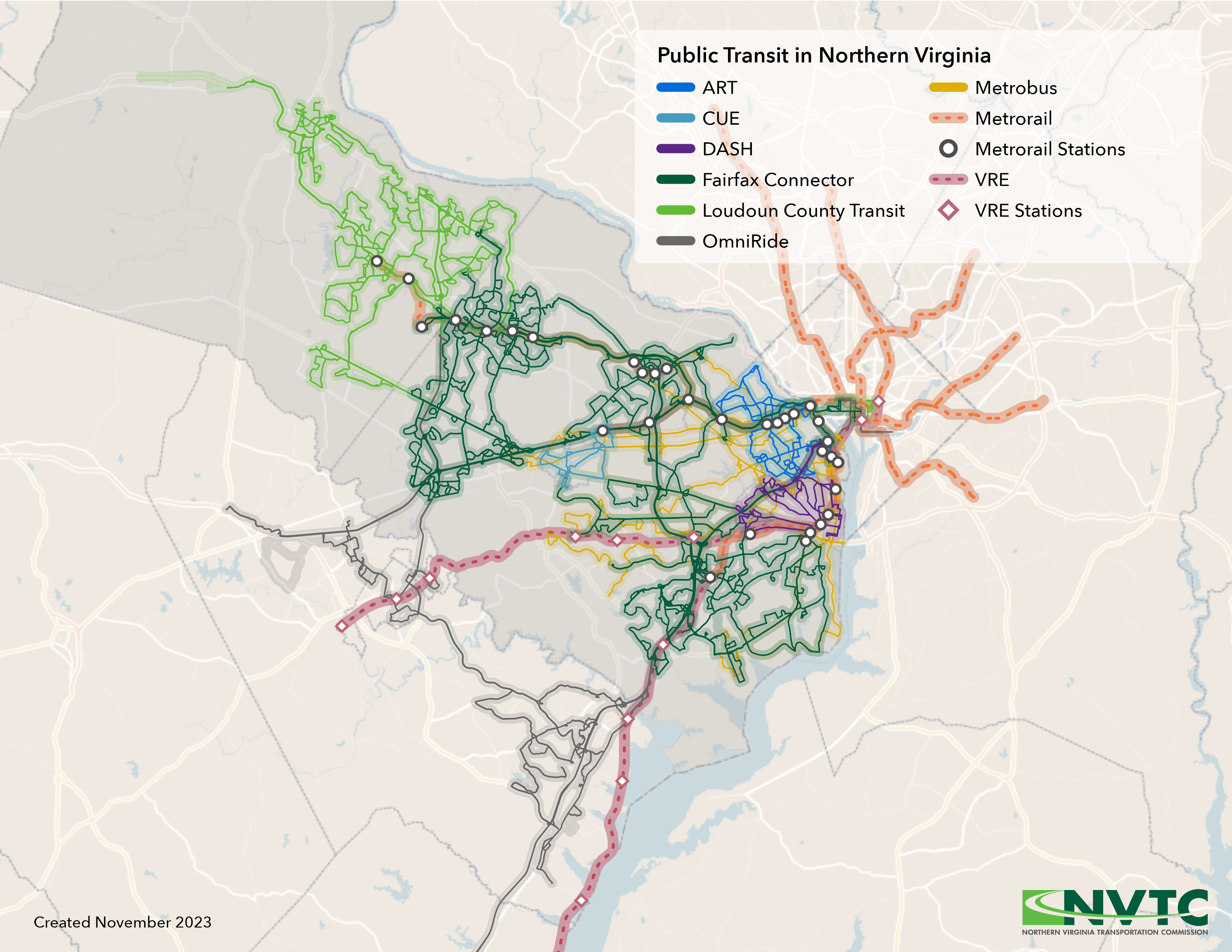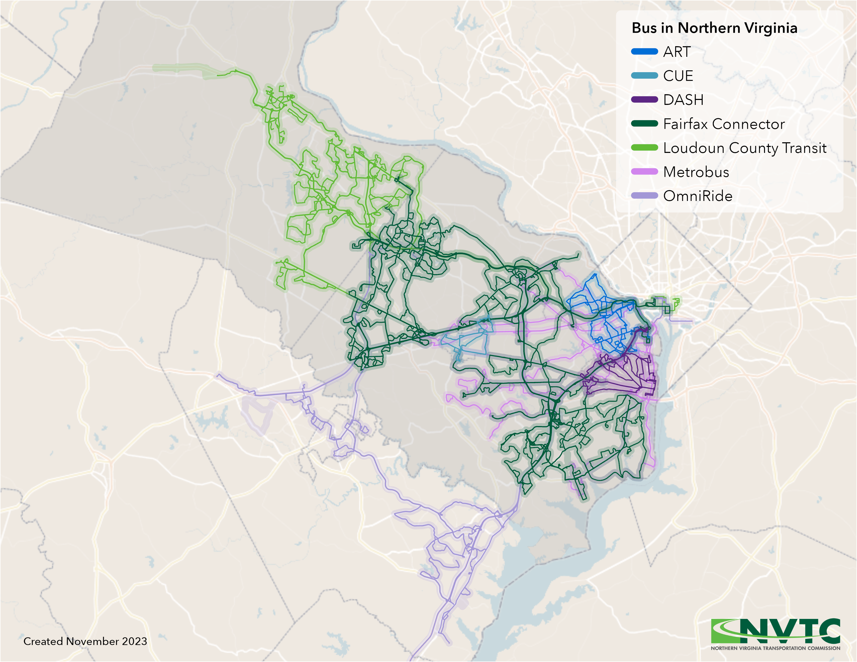
Northern Virginia contains a network of bus, commuter rail and Metrorail services that connect six counties, six cities and a population of more than 2 million. NVTC creates tools such as interactive guides, maps and our NoVaTransit Data Dashboard to help convey the importance of transit in Northern Virginia.
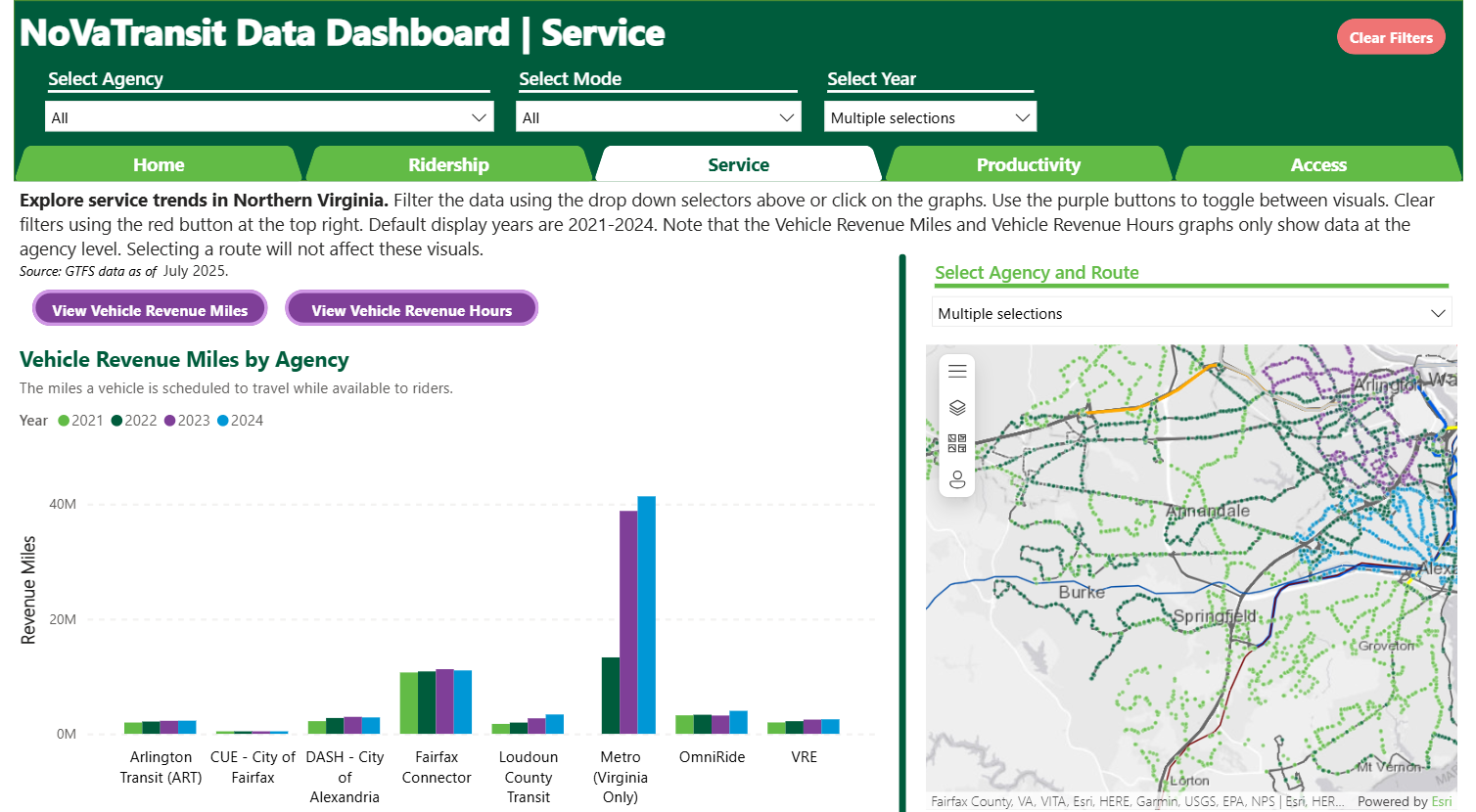
NoVaTransit Data Dashboard
Our NoVaTransit Data Dashboard provides on-demand access to detailed information on the eight transit systems serving the region. It features regularly updating data on ridership, service, access to transit and other key metrics for Metrorail, Metrobus, Virginia Railway Express, DASH, Fairfax Connector, City of Fairfax-CUE, Loudoun County Transit and OmniRide. We hope this dashboard will be useful for understanding how much of an impact transit has for the region.
Interactive Guides
These interactive sites allows users to learn more about data and information in a hands-on way. The guides combine maps, images and texts that allow the reader to dive deeper into the story. You can click, scroll, and zoom on the maps to explore the region. Clicking elements on the maps will bring up more information.

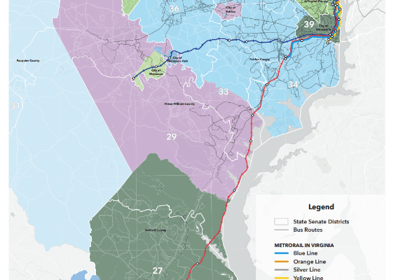
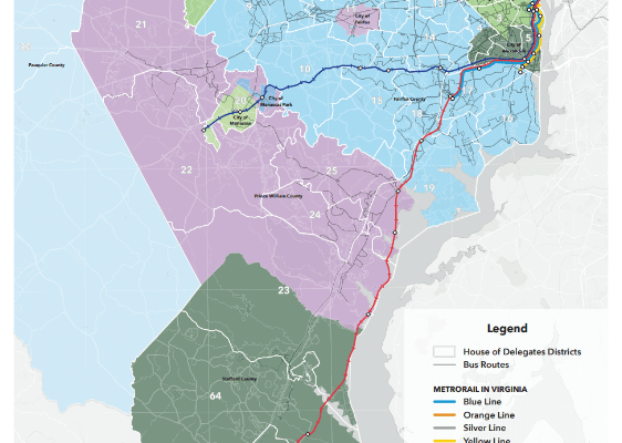
Interactive Public Transit Legislative Map
This interactive map shows what transit routes serve each State Senate, House of Delegates and Congressional districts in Northern Virginia.
The tool allows you to:
- Compare legislative districts
- Filter to specific districts, transit agencies and jurisdictions
- Find details on population, household, number of transit routes and which delegate, senator and member of Congress represents the locality
Static Maps
Below is a selection of static maps NVTC created to further the understanding of transit’s role in the region.